
Topographical Surveys and cadastral Surveys
Service Details
Topographical and Cadastral Survey Services
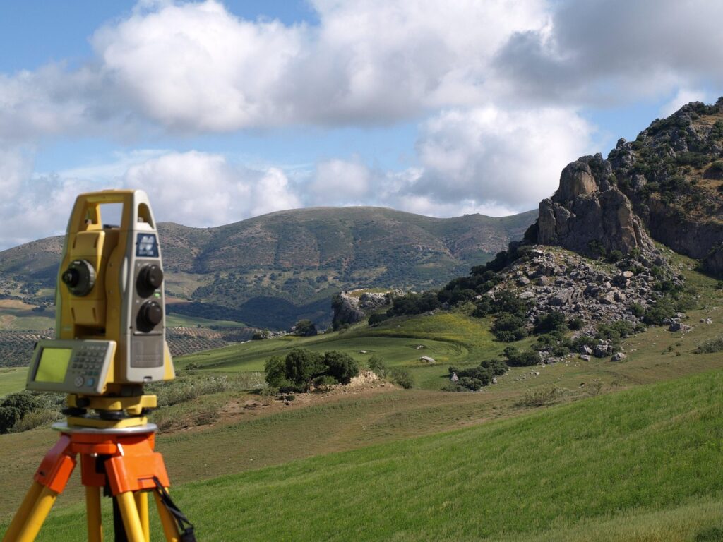
Trabeate and Corbel offers expert topographical and cadastral surveys to support your civil engineering and construction projects. Our surveys provide precise, reliable data for site analysis, including elevation mapping, land contours, and property boundaries. Using advanced equipment like total stations, GPS systems, and laser scanning technology, we ensure that every survey is accurate and tailored to the specific needs of your project, whether it’s for residential, commercial, or infrastructure development.
Our topographical surveys map the natural features of a site, providing essential information for drainage planning, construction feasibility, and land use. Meanwhile, our cadastral surveys are designed to establish property boundaries, helping to resolve land ownership disputes and ensure compliance with local regulations. Both types of surveys are essential for informed decision-making and effective project planning, ensuring that your development progresses smoothly.
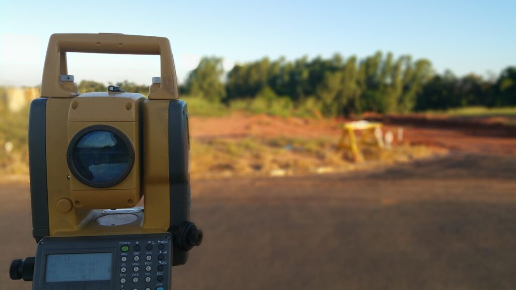
To further support our surveying services, we work closely with our sister company, Cressttech Solutions, which supplies the latest surveying equipment. This partnership ensures we have access to cutting-edge technology, allowing us to deliver high-quality, accurate results for all your topographical and cadastral survey needs.

Topographical & Cadastral Survey FAQs
At Trabeate and Corbel, we specialize in providing topographical and cadastral survey services that support a wide range of construction and civil engineering projects. These surveys are essential for accurately understanding land features, property boundaries, and site conditions, ensuring that your project is built on a solid foundation.
To help you better understand our process and services, we’ve compiled answers to some of the most frequently asked questions (FAQs) about topographical and cadastral surveys. Whether you’re planning a new development or need precise land boundary information, our expert team is here to guide you through every step of the surveying process.